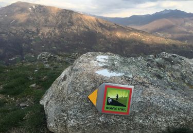
25 km | 40 km-effort
Caslano: Kastanienweg
My Switzerland
Optez pour le retour à la nature GUIDE+
Lengte
11,1 km
Max. hoogte
930 m
Positief hoogteverschil
398 m
Km-Effort
16,4 km
Min. hoogte
688 m
Negatief hoogteverschil
410 m
Boucle
Neen
Datum van aanmaak :
2014-12-10 00:00:00.0
Laatste wijziging :
2014-12-10 00:00:00.0
--
Moeilijkheid : Onbekend
Gratisgps-wandelapplicatie
Over ons
Tocht Stappen van 11,1 km beschikbaar op Ticino, Distretto di Lugano, Alto Malcantone. Deze tocht wordt voorgesteld door My Switzerland.
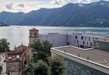
Plaatsbepaling
Land:
Switzerland
Regio :
Ticino
Departement/Provincie :
Distretto di Lugano
Gemeente :
Alto Malcantone
Locatie:
Unknown
Vertrek:(Dec)
Vertrek:(UTM)
492278 ; 5098689 (32T) N.
Opmerkingen
Wandeltochten in de omgeving
Circuit decouverte Lugano
Stappen
Medium
Lugano,
Ticino,
Distretto di Lugano,
Switzerland
5h 42min
Ja
Condra-Tesserete
Te voet
Gemakkelijk
Capriasca,
Ticino,
Distretto di Lugano,
Switzerland
3,4 km | 5,1 km-effort
1h 8min
Neen
Pradecolo
Mountainbike
Heel gemakkelijk
Miglieglia,
Ticino,
Distretto di Lugano,
Switzerland
27 km | 40 km-effort
12h 3min
Ja
Bike32933
Mountainbike
Heel gemakkelijk
Lugano,
Ticino,
Distretto di Lugano,
Switzerland
25 km | 38 km-effort
Onbekend
Ja
Tessiner Gratwanderung: Monte Lema - Monte Tamaro
Stappen
Heel gemakkelijk
Miglieglia,
Ticino,
Distretto di Lugano,
Switzerland
17,6 km | 38 km-effort
Onbekend
Neen
bike_tesserete2_2008
Stappen
Heel gemakkelijk
Capriasca,
Ticino,
Distretto di Lugano,
Switzerland
43 km | 66 km-effort
12h 42min
Ja
bike_tesserete-1_2008
Stappen
Heel gemakkelijk
Capriasca,
Ticino,
Distretto di Lugano,
Switzerland
34 km | 47 km-effort
9h 9min
Neen
YHH131 Lugano - Tesserete
Stappen
Moeilijk
Lugano,
Ticino,
Distretto di Lugano,
Switzerland
10,3 km | 15,8 km-effort
3h 52min
Neen
Oberes Malcantone
Andere activiteiten
Heel gemakkelijk
Miglieglia,
Ticino,
Distretto di Lugano,
Switzerland
18,3 km | 30 km-effort
4h 32min
Ja